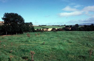
Sites and Monument Record: Castle Rankine (SMR 476)
Description
The site of Castle Rankine is 240 yds W of Castlerankine farmhouse, with the deep ravine of Castlerankine Burn on its W side. No structure survives above ground, but excavations in 1938-9 revealed the foundations of a curtain wall enclosing an area 96 ft N-S by 91 ft. This wall varied from 3 ft 9 ins to 4 ft 7 ins thick. From the N curtain, a barbican extended to the lip of a ditch, which was identified to N and S of the enclosure and presumably existed on the E as well. Between the curtain and the ditch, W of the barbican, a limekiln was found.
See full details
Object detail
A socket stone was observed in the he field south of the castle in 2010 see photo.


Public comments
Be the first to comment on this object record.