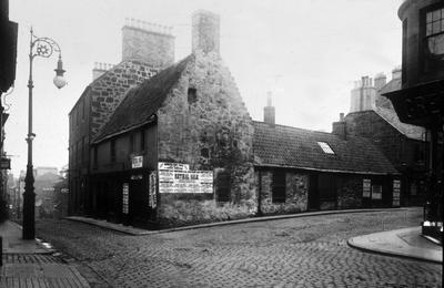
Sites and Monument Record: Falkirk Burgh (SMR 1138)
Description
Falkirk lies in the Central Rift Valley of Scotland, a few miles from the Forth Estuary. To the north is the River Carron and its flood plain, and southwards the land rises to the Slamannan Plateau. The settlement of Falkirk sits on a small eminence between the valleys of the West and East Burns. The site is free draining with a sandy subsoil.
The town walls and ports were constructed in the 1590s. There were five ports or gateways- the west port, east port, Bantaskine Port or Water Port (Howgate), north port {Vicar's Loan) and south port (Cow Wynd). Remains of what appear to have been the north port were discovered in 1899 on the site of the Argyll bar.
See full details


Public comments
Be the first to comment on this object record.