Searching for:
- Object
- Person
Refine Results
Refine results
Collection
Images attached
Subject category
Maker
- Falkirk District Council : Planning & Environment 168
- Falkirk Town Council. Town Planning Officer 35
- John McPake 18
- Falkirk Herald 17
- Central Regional Council. Photographer 16
- Unknown 8
- John Peat Munn 6
- Aerofilms Ltd 5
- Bo'ness Town Council. Town Planning Officer 4
- Taylor 4
- Tom Astbury 3
- Grangemouth Dockyard Co Ltd 2
Production date
to
Record level
Image Orientation
colour
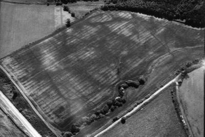
The site lies to the north of the Larbert Branch railway and on the southern margin of Camelon Golf Course and the west of Stirling Road.
It lies on an elevated plateau above the River Carron, which has changed its course since the Roman period. The ramparts survive as prominent mounds, circa 4ft high.
Sites and Monument Record: Camelon Roman Fort (SMR 1)

P47105
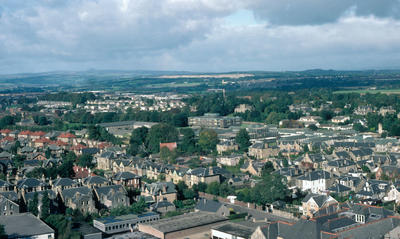
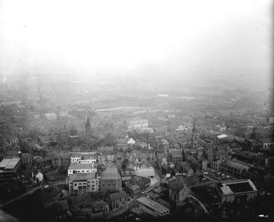
Junction of High Station Rd and Glen Brae, Falkirk
24 Mar 1970
Falkirk Town Council. Town Planning Officer
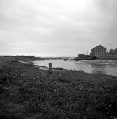
The harbour was filled in over a period of 30-40 years. In 2007 part of the flood prevention barrier was built over it, leaving just the ends of the piers exposed on the coast. The central pier is built of large sandstone blocks capped with granite blocks. The western pier is a mixture of concrete, iron boilers, and stone.
Sites and Monument Record: Bridgeness Harbour (SMR 1503)