Ordnance Survey
Share
Copy Link
Ordnance Survey
Objects made by this person
Refine Results
Accession number:
P15755
Name/title:
Aerial view of Grangemouth
Production date:
Circa 1920
See full details
 Accession number:
P02550
Name/title:
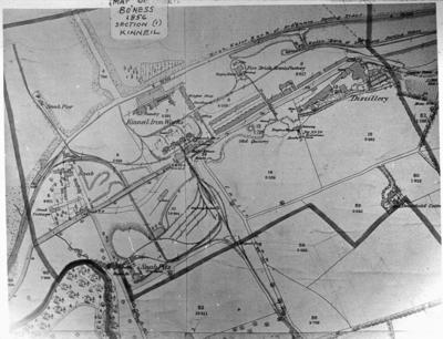
Map of Bo'ness and Kinneil
Production date:
1856 {map}, (1960s) {photo}
See full details
Accession number:
P02550
Name/title:
Map of Bo'ness and Kinneil
Production date:
1856 {map}, (1960s) {photo}
See full details
 Accession number:
P02551
Name/title:
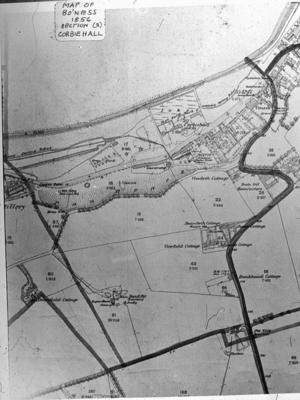
"Map of Bo'ness 1856 Section (2) Corbiehall"
Production date:
1856 {map}, (1960s) {photo}
See full details
Accession number:
P02551
Name/title:
"Map of Bo'ness 1856 Section (2) Corbiehall"
Production date:
1856 {map}, (1960s) {photo}
See full details
 Accession number:
P02554
Name/title:
"Map of Bo'ness 1856 Section (5) Bridgeness"
Production date:
1856 {map}, (1960s) {photo}
See full details
Accession number:
P02554
Name/title:
"Map of Bo'ness 1856 Section (5) Bridgeness"
Production date:
1856 {map}, (1960s) {photo}
See full details
 Accession number:
P02553
Name/title:
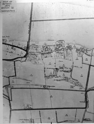
"Map of Bo'ness 1856 Section (4) Grangepans"
Production date:
1856 {map}, (1960s) {photo}
See full details
Accession number:
P02553
Name/title:
"Map of Bo'ness 1856 Section (4) Grangepans"
Production date:
1856 {map}, (1960s) {photo}
See full details
 Accession number:
P02555
Name/title:
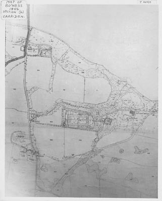
Map of Bo'ness 1856 Section (6) Carriden"
Production date:
1856 {map}, (1960s) {photo}
See full details
Accession number:
P02555
Name/title:
Map of Bo'ness 1856 Section (6) Carriden"
Production date:
1856 {map}, (1960s) {photo}
See full details
Accession number:
P28590
Name/title:
Map.
Production date:
2000 {photo}, 1892 {map}
See full details
 Accession number:
P02552
Name/title:
"Map of Bo"ness 1856 Section (3) Borrowstouness"
Production date:
1856 {map}, (1960s) {photo}
See full details
Accession number:
P02552
Name/title:
"Map of Bo"ness 1856 Section (3) Borrowstouness"
Production date:
1856 {map}, (1960s) {photo}
See full details
Accession number:
A1782.001
Record level:
Item
Name/title:
Map OS : Eastern Falkirk, Laurieston and Grangemouth
Production date:
1938
See full details
Accession number:
A708.025
Record level:
Item
Name/title:
Map, OS: Falkirk Parish
Production date:
1860
See full details
Objects with this person as a subject
Refine Results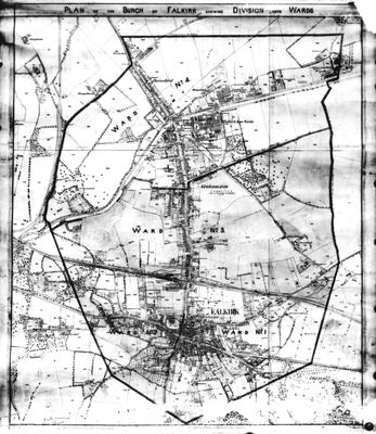 Accession number:
P32932
Name/title:
Photograph of a map of Falkirk
Production date:
1930s
See full details
Accession number:
P32932
Name/title:
Photograph of a map of Falkirk
Production date:
1930s
See full details